Connecting you to maps, geospatial and land information for Europe
EuroGeographics is the not-for-profit association for the European National Mapping, Cadastral and Land Registry Authorities. We bring together our members’ collective expertise and data to provide solutions for global challenges.
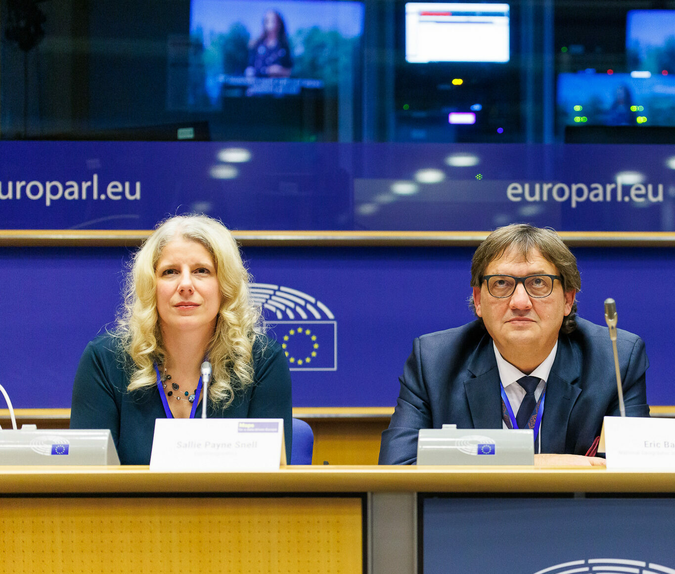
EuroGeographics is the voice of Europe’s National Mapping, Cadastral and Land Registry Authorities
60
organisations
44
countries
We solve complex challenges through collective action
Representation
Demonstrating the value of official pan-European geospatial data
Members' geospatial data is a valuable and sovereign European asset. We advocate for its integration into critical infrastructure - ensuring that member capabilities, roles, and concerns are recognised and understood.

Data
Enabling access to official pan-European geospatial data
Together with our members, we integrate national data into harmonised pan-European datasets, enabling cross-border applications and a wealth of opportunities for reuse.
50+ producers
Find out more

Knowledge exchange
Sharing expertise in official pan-European geospatial data production
Together with our members, we solve common challenges through knowledge exchange and partnerships with those who share our goal of using geospatial data to benefit people and planet.
8 networks
100+ webinars
300+ publications
Find out more