
State Service of Ukraine for Geodesy, Cartography and Cadastre (StateGeoCadastre)

Ukraine
Member information
National name
Державна служба України з питань геодезії, картографії та кадастру
English spelling
State Service of Ukraine for Geodesy, Cartography and Cadastre (StateGeoCadastre)
Member status
Full
Founded
2014 after reorganization
Legal status
Government Agency
Responsible ministry/organisation
Ministry of Agrarian Policy and Food of Ukraine
Number of staff
4300
% state funding
100
Case studies
2019: Increasing transparency and availability of data with Cadastre 2.0 in Ukraine
2020: Ukraine achieves long awaited step forward in NSDI development
2021: Providing a single digital topographic base map for Ukraine
Contact details
Head of organisation
Permanent correspondent
Postal address
3 Sviatoslava Khorobroho Str.
MSP Kyiv
UA-03151 Ukraine
Website
Responsibilities
Geodetic survey
Yes
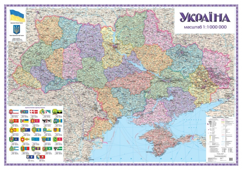
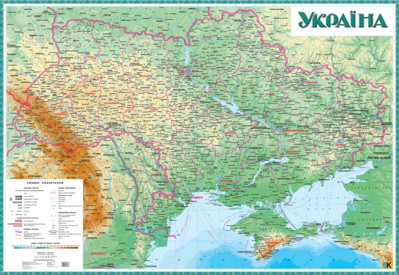
Topographic mapping
Yes
Cadastre
Yes
Land registration
Yes
Military mapping
No
Thematic mapping
Yes
Hydrographic mapping
Yes
Aerial photography
Yes
Satellite imagery
No
Marine mapping
No
Metrology
No
e-Government
Yes
National Spatial Data Infrastructure
Yes
National Services
Cadastral Portal
Geoportal
Positioning Service
NSDI Portal
Products and services
Addresses
No
Cadastre
Yes
Land Registration
Yes
Land Information
Yes
Topographic Maps
Yes
Historical Maps
Yes
Nautical Charts and Services
No
Orthophotos
Yes
Satellite Imagery
No
Distribution
Directly to customers
Yes
VAR network
No
Distributor network
Yes
Map publishers
No
Customers
Central Government
Yes
Local Government
Yes
Utilities
No
Commercial
Yes
Military
Yes