Page summary
EuroGeographics AISBL
EuroGeographics is an international not-for-profit membership association (AISBL) under Belgian law, and governed by its Management Board and the General Assembly of Members. Our purpose, activities, membership and management are set out in our Articles of Association and our Rules and Regulations.
Management Board
EuroGeographics is led by its President and Board Members. Six of these members are elected during the General Assembly. The remaining three are appointed by our principal financial contributors: France, Germany and Great Britain.
Tomaž Petek
Surveying and Mapping Authority of the Republic of Slovenia
Nicolas Paparoditis
National Institute of Geographic and Forest Information, France

Eydís Líndal Finnbogadóttir
Natural Science Institute of Iceland

Matt Goodman
Ordnance Survey, Great Britain
Mārtiņš Liberts
Latvian Geospatial Information Agency
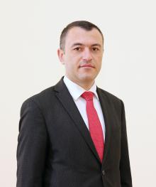
Constantin Osoianu
Agency for Geodesy, Cartography and Cadastre of the Republic of Moldova

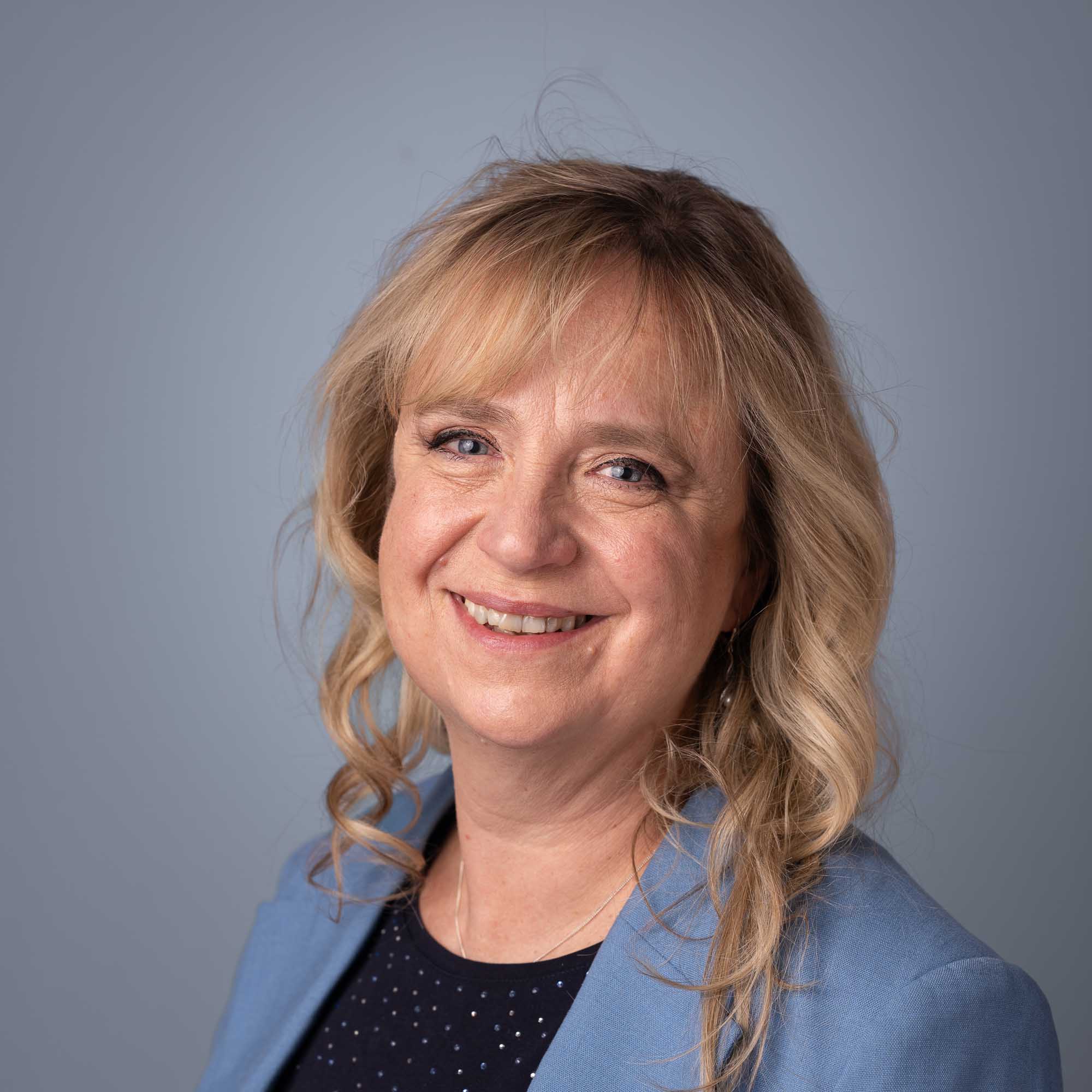
Cora Smelik
The Netherlands’ Cadastre, Land Registry and Mapping Agency
Suren Tovmasyan
Cadastre Committee of the Republic of Armenia
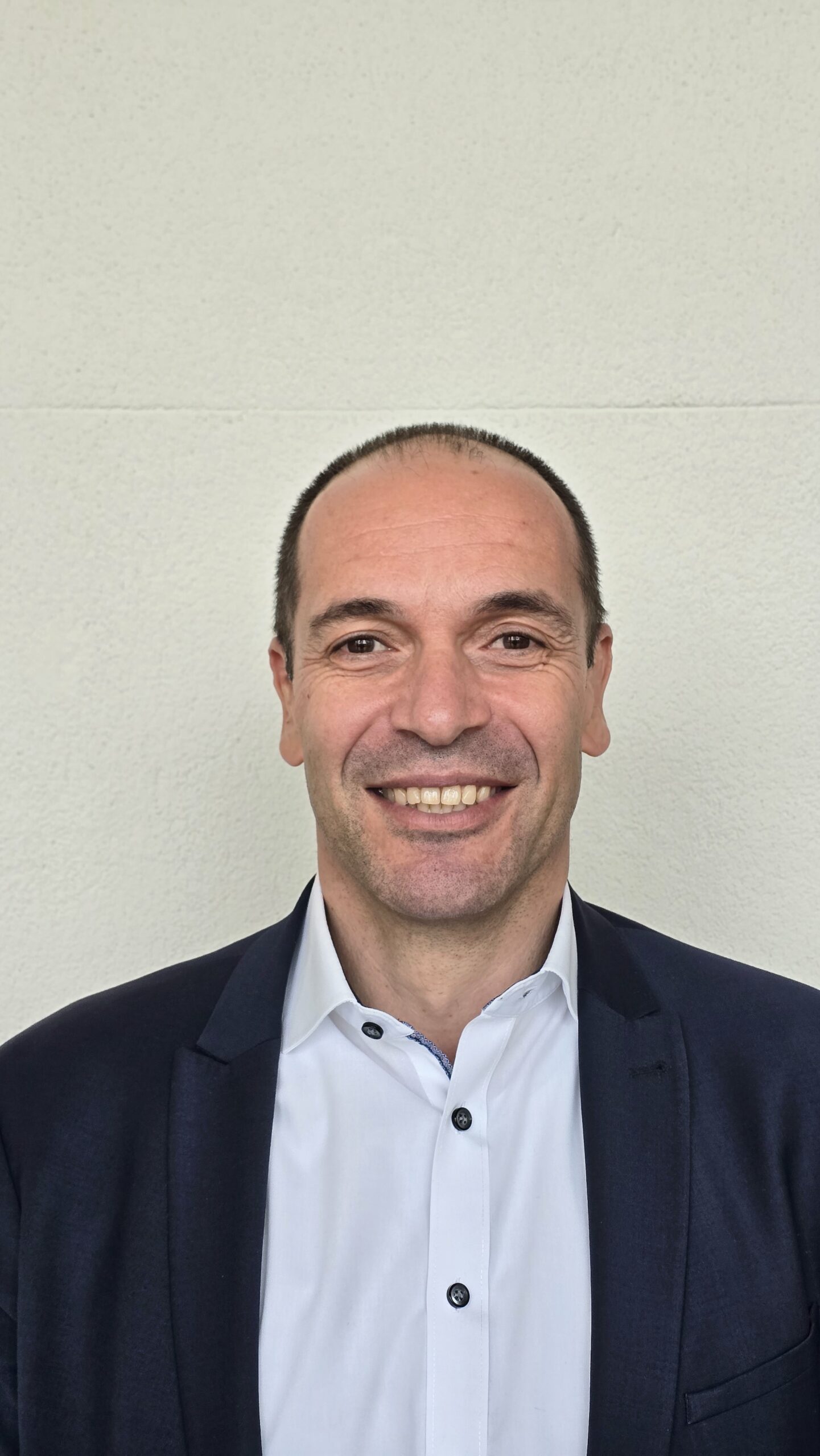
Pier-Giorgio Zaccheddu
Federal Agency for Cartography and Geodesy, Germany
Head Office
EuroGeographics Head Office team leads our representation activities and communications, and coordinates our knowledge networks, products and projects. Under the leadership of our Secretary General and Executive Director, Sallie Payne Snell, they combine their professional knowledge, experience and understanding of our members to drive forward our vision and mission.

Sallie Payne Snell
Secretary General and Executive Director

Carol Agius
Head of Representation and Stakeholder Engagement

Angela Baker
Head of Partnerships and Sustainability

Alina Talipova
Head of Corporate Services

Matina Fuentes
Knowledge Exchange Manager
Patricia Sokacova
Membership and Communications Manager

Marjana Zelic
Senior Research and Policy Officer

Rhian French
Public Relations Consultant

Giuseppe Novella
Communication and Representation Executive

Oliwia Marszalek
Membership and Data Officer

Nadyr Meskini
Administrative Officer
Permanent Correspondents
Each member of EuroGeographics appoints a Permanent Correspondent as the main point of contact with the Association’s Head Office. They can ask us for information, help or support at any time, in particular when external support from a membership association may be required. For more information, please contact our Membership and Communications Manager, Patricia Sokacova.
Permanent Correspondents act as the ears, eyes and voice of their member organisation and are responsible for ensuring that as many of their colleagues as possible are able to benefit from EuroGeographics membership. They are well informed about the activities of their organisation, have good communication skills and are proficient in English.
Their role includes:
- Passing on information such as emails and invitations to events to their colleagues, as well as promoting the Members Newsletter through their organisation’s internal communications channels.
- Encouraging colleagues to participate in our Knowledge Exchange activities to enable continuous professional development and capacity building within the member organisation.
- Updating EuroGeographics about any organisational change such as a new Head of organisation or a new address.
Informing EuroGeographics of any news, achievements or progress in their organisation that they would like to promote through the membership network or to external stakeholders. - Coordinating responses to questionnaires or surveys from EuroGeographics.
- Working in partnership with EuroGeographics Head Office Team works. For example, when organising and arranging knowledge exchange activities and events, planning and preparations for General Assemblies, when compiling the EuroGeographics Annual Review, or when arranging collaborative events with our partner organisations, such as the PCC and EuroSDR.
General Assemblies
EuroGeographics holds two General Assemblies each year, not only for official Association business but also to provide opportunities for high-level knowledge exchange with peers. The main General Assembly is hosted by one of our members and takes place in the autumn. It is attended by the heads of the European National Mapping, Cadastral and Land Registry Authorities. The Extraordinary General Assembly, for permanent correspondents, is held in the spring and coincides with the publication of our Annual Review.
Both provide the opportunity to report on our progress and future plans, share expertise and discuss key issues as well as to carry out the formal business of the Association. This includes approving our accounts, budget and subscriptions for the coming year and new member applications. Elections are also held to appoint a President and Management Board members.
More information about the General Assembly can be found in the Articles of the Association.
Past
Eurogeographics
Event
Event
17
May 2026
General Assembly
EuroGeographics General Assembly 2026
More info
Past
Eurogeographics
Event
Event
18
May 2025
General Assembly
EuroGeographics General Assembly 2025
More info
Past
Eurogeographics
Event
Event
17
Mar 2024
General Assembly
EuroGeographics General Assembly 2024
More info
Past
Eurogeographics
Event
Event
19
Mar 2023
General Assembly
EuroGeographics General Assembly 2023
More info
Past
Eurogeographics
Event
Event
15
May 2022
General Assembly
EuroGeographics General Assembly
More info
Past
Eurogeographics
Event
Event
17
May 2021
General Assembly
EuroGeographics General Assembly 2021
More info
Past
Eurogeographics
Event
Event
06
Oct 2020
General Assembly
EuroGeographics General Assembly 2020 Webinar Series 1 - Introduction
More info
Past
Eurogeographics
Event
Event
08
Oct 2020
General Assembly
General Assembly Webinar Series 2 – European & International Policy Development
More info
Past
Eurogeographics
Event
Event
15
Oct 2020
General Assembly
General Assembly Webinar Series 3 – Business Continuity
More info
Past
Eurogeographics
Event
Event
22
Oct 2020
General Assembly
General Assembly Webinar Series 4 – Business Models and General Assembly 2020 Formal Business
More info
Past
Eurogeographics
Event
Event
29
Apr 2020
General Assembly
EuroGeographics Extraordinary General Assembly 2020
More info
Past
Eurogeographics
Event
Event
06
Oct 2019
General Assembly
General Assembly 2019
More info
Past
Eurogeographics
Event
Event
14
May 2019
General Assembly
EuroGeographics Extraordinary General Assembly 2019
More info
Past
Eurogeographics
Event
Event
07
Oct 2018
General Assembly
EuroGeographics General Assembly 2018
More info
Past
Eurogeographics
Event
Event
15
May 2018
General Assembly
2018 Extraordinary General Assembly
More info
Past
Eurogeographics
Event
Event
02
Oct 2017
General Assembly
2017 General Assembly
More info
Past
Eurogeographics
Event
Event
09
May 2017
General Assembly
2017 Extraordinary General Assembly
More info
Past
Eurogeographics
Event
Event
03
Oct 2016
General Assembly
2016 General Assembly
More info
Past
Eurogeographics
Event
Event
10
May 2016
General Assembly
2016 Extraordinary General Assembly
More info