Aim, objectives and mission of the KEN
The aim and mission of the Cadastre and Land Registry Knowledge Exchange Network (CLRKEN) is to help EuroGeographics members meet user needs for cadastral information at both national and European levels.

The aim and mission of the Cadastre and Land Registry Knowledge Exchange Network (CLRKEN) is to help EuroGeographics members meet user needs for cadastral information at both national and European levels.
The mission and objectives of the CLRKEN are to:
The CLRKEN focuses on the role of cadastre (documenting land property objects) and land registry (documenting legal rights in properties) and investigates developments that affect these fields.
Topics that are of interest to the CLRKEN are: core data, address data, public-law restrictions, 3D cadastre, cadastre of underground facilities, organisational issues.
The CLRKEN plans the following activities:
These activities are to be coordinated with other institutions, organisations, and parties active in our field.
CLRKEN will keep the contacts with its partner organisations and explore possible joint workshops and events. Partners include PCC, ELRA, WPLA, FIG-Commission 7, CLGE, UN-GGIM, FIG-YSN
A very successful joint PCC and EuroGeographics Conference was held on 7-9 June in Gävle under the Swedisch Presidency, hosted by Lantmäteriet. Presentations are available here.
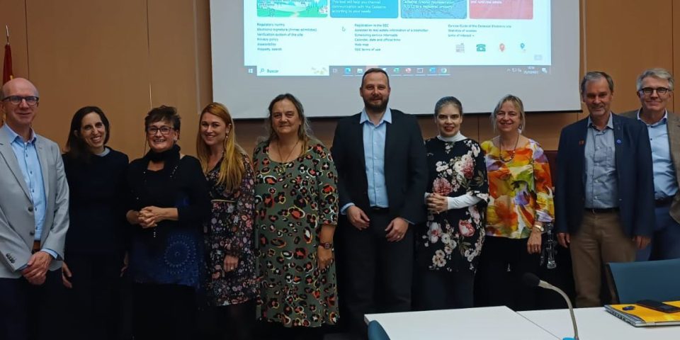
The CLRKEN is co-chaired by Jolien Neckebroeck from GADP Belgium and Vents Priedoliņš from SLS Latvia.
| Name | Organisation and Country |
|---|---|
| Jolien Neckebroeck (co-chair) | General Administration of Patrimonial Documentation, Belgium |
| Vents Priedoliņš (co-chair) | State Land Service Latvia |
| Amalia Velasco | General Directorate of Cadastre, Spain |
| Rocío Rodríguez Molina | General Directorate of Cadastre, Spain |
| Julius Ernst | BEV, Austria |
| Martin Salzmann | Kadaster, The Netherlands |
| Pia Åbo Østergaard | Geodatastyrelsen, Denmark |
| Maanmittauslaitos, Finland | |
| Magdalena Andersson |
Lantmateriet, Sweden |
| Patricia Sokacova | EuroGeographics Head Office |