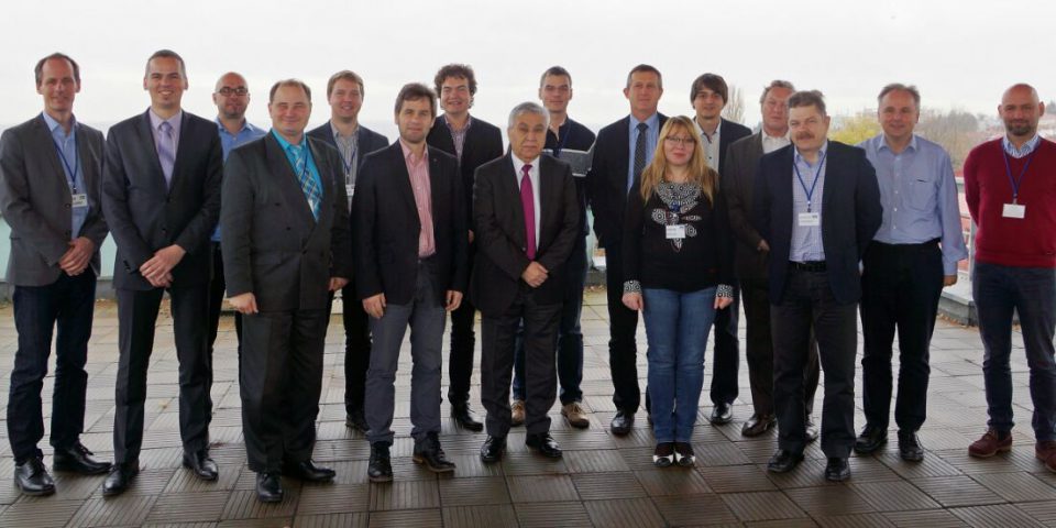
The GNSS positioning in Europe, in different aspects – from determination of the reference system, scientific analysis of GNSS data, through various types of services provided to the users of GNSS on different levels of accuracy and reliability, ending with a large variety of applications – has been coordinated and developed by a number of national, regional and pan-European authorities. In order to progress with market-oriented operational services the coordinated approach that links all important initiatives would benefit users.
Positioning Forum

Aim, objectives and mission
Such an opportunity arose when a decision was made to initiate cooperation on GNSS positioning between four of the key players in the European market, each representing a different market segment:
- CLGE – representing users of permanent GNSS networks for precise positioning, especially surveyors, a large group of users of GNSS precision applications,
- EUPOS – representing DGNSS service providers of RTK networks which densify the continental network,
- EUREF – representing scientific community, especially concerning reference frames and operating a continental GNSS network as densification of the global network of the International GNSS Service (IGS) and forms a terrestrial continental interoperable infrastructure for different applications,
- EuroGeographics – representing national policy makers, namely NMCAs.
The Positioning Forum does not duplicate the activities carried by other Coordinating organisations in Europe. It acts as a coordination node for positioning in Europe, with a focus on:
- Providing a forum for discussing European geodetic requirements, and briefings NMCAs on the development of applicable technologies and practices in geodetic/GNSS activities -> link to EuroSDR, FIG, GSA;
- Discussing and agreeing the common position amongst NMCAs and partners toward pan-European or worldwide programmes and strategies in the geodetic activities -> link to UNGGIM, FIG, GSA, EUPOS;
- Sharing knowledge (technical, organisational) and experience, strengthening capacities developing national GNSS infrastructures and executing other national geodetic activities – > link to EUPOS, CLGE, EUREF, EuroSDR;
- Standardising the national services contributing to and benefitting from the development of European positioning services.
Coordinating committee
| Name | Country |
|---|---|
|
Bruno Garayt |
France |
|
Marijan Marijanovic |
Croatia |
|
Branislav Droscak |
Slovakia |
|
Peter Wiklund |
Sweden |
