Brochures
|
Details |
Size/type |
|
6.7 MB, PDF |
|
|
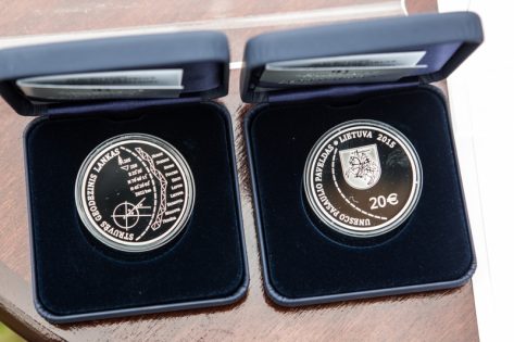
Brochure of the coint dedicated to Struve Geodetic Arc, Bank of Lithuania, 2015 |
|
Video
|
Details |
Size/type |
|
YouTube Video |
UNESCO documentation
|
Details |
Date |
Size/type |
|
2014 |
164 kb, PDF |
|
|
Statements of Outstanding Universal Value of Struve Geodetic Arc |
Updated in 2014 |
196 kb, PDF |
|
Decision Nr. 29COM 8B35 of the 29th session of the World Heritage Committee in Durban |
10–17/07/2005 |
926 kb, PDF |
|
Struve Geodetic Arc. World Heritage Center Nomination Documentation |
2005 |
21.1 MB, PDF |
|
28/01/2004 |
|