Harmonised European open data from official national sources is to be included in the United Nations Second Administrative Level Boundaries (SALB) initiative.
EuroGeographics, which represents National Mapping, Cadastral and Land Registry Authorities from the whole of geographical Europe, is providing its 1:1 million scale topographic open dataset, EuroGlobalMap to assist the project’s aim of compiling global administrative boundaries data from authoritative sources.
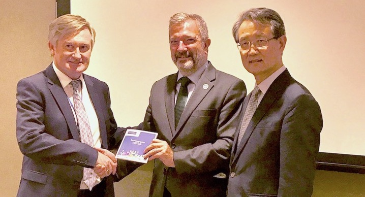
Mr Mick Cory, Secretary General and Executive Director of the international not-for-profit association presented the dataset to Mr Kyoung-Soo Eom, Chief, Geospatial Information Section, United Nations and Mr Anthony O’Mullane, Director, Information and Communications Technology Division, Department of Field Support, United Nations at the Seventh Session of the United Nations Committee of Experts on Global Geospatial Information Management (UN-GGIM) in New York.
Mr Cory said: “EuroGeographics is pleased to facilitate the work of the SALB initiative towards the development of a worldwide repository of geospatial information databases of administrative boundaries.”
“As the representative of European National Mapping and Cadastre and Land Registry Authorities, we look forward to further collaboration and would be pleased to contribute our technical expertise and experience in collecting such data from Member States, as well as to share our data standards and policies with the initiative.”
Mr Kyoung-Soo Eom added: “We are very pleased to receive this geospatial data from official national sources and we foresee that there will be a great synergy through our cooperation between EuroGeographics and the UN SALB Initiative.”
“We look forward to our continued cooperation towards the achievement of our common goal.”
EuroGlobalMap provides harmonised European open data covering 45 countries and territories, comprising six themes: Administrative boundaries, names locations, transport networks, settlements, elevation; and the water network. It is available free of charge for any use under an open data licence and enables a wide range of applications, including mobile mapping, demographic and socio-economic analysis, hydrology, energy and environment modelling and education and research.
SALB, as an authoritative geospatial dataset on administrative boundaries, participates in the provision of “reliable geospatial information” highlighted as key in the General Assembly Resolution 66/288 “The Future We Want” for the implementation of sustainable development policy-making, programming and project operations.
It can play a crucial role in providing reliable global geospatial information for measuring and monitoring the Sustainable Development Goals, in particular by linking statistics to geospatial location as identified in General Assembly Resolution 70/1 “Transforming our World: the 2030 Agenda for Sustainable Development”.
Administrative boundaries have been highlighted as a priority “core global fundamental geospatial data theme” by the UN-GGIM which recognises the importance of SALB and encouraged Member States for active participation in the initiative. Currently, SALB accounts for over 80 participating Member States who have already provided either their contact details, submitted initial GIS datasets or finalised with the Secretariat a publically available SALB dataset.
Under the auspices of the UN Secretariat, SALB is jointly managed by the Geospatial Information Section of the Department of the Field Support (DFS) and the Statistics Division of the Department of Economic and Social Affairs (DESA), offices also responsible for the UN-GGIM Secretariat services.
Ends
For further information please contact Rhian French on +44 1264 300126, +447892 698 350(mobile) or email press@eurogeographics.org.
Notes to Editors
EuroGeographics
EuroGeographics is an international not-for-profit organisation (AISBL/ IVZW under Belgian Law. BCE registration: 833 607 112) and the membership association for the European National Mapping, Cadastre and Land Registry Authorities. It currently brings together 63 members from 46 countries.

