
Providing common and consistent geographies to support the United Nations System
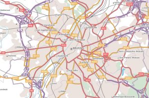 The Geospatial Information Section of the United Nations uses Open Maps For Europe to provides a consistent representation of the world based on common geographies. Its vision is the universal use of geospatial information to underpin and support all roles, mandates and operations of the United Nations for a better world.
“Open data created using official information from Europe’s National Mapping, Cadastral and Land Registration Authorities provides common and consistent geographies to support the United Nations System. We know that we can rely on these Open Maps For Europe and, that in turn, our colleagues can trust the information we provide to them to support decision-making and data action.”
Kyoung-Soo Eom, Chief, UN Geospatial Information Section