
Delivering data to promote peace, prosperity and security
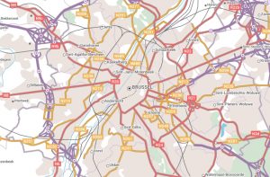 The European External Action Service (EEAS) is the European Union’s (EU) diplomatic service, and since 2011 has carried out the EU’s Common Foreign and Security Policy to promote peace, prosperity, security, and the interests of Europeans across the globe. It uses EuroRegionalMap, a pan-European dataset available through the Open Maps For Europe project, for planning military mobility and investment programmes.
“We need a coherent database, and we need data that we can trust and rely on. We need authoritative geospatial information, quality controlled, preferably from governmental sources with borders and boundaries that should reflect the EU view. We also need a common place where we can do planning. So, the 1:250 000 scale seamless open data is crucial for us in determining, for example, where we reinforce our bridges so that heavy trucks can cross them without breaking or planning our routing systems.”
Lieutenant-Colonel Soenke Fischhoefer, Senior Geospatial Officer EUMS, EU External Action Service.