Partnership agreed to improve access to pan-European maps for Copernicus users
Press Releases | 29 Mar 2017
Users of Copernicus services are set to benefit from a new partnership which improves access to pan-European maps and land information from official sources.
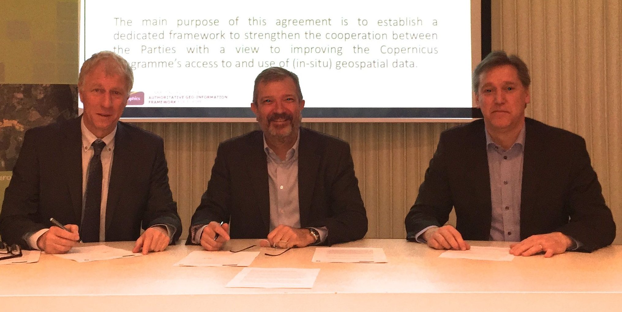
The cooperation agreement signed today (29 March) between the European Environment Agency (EEA) and EuroGeographics signals a commitment to make more national authoritative geospatial information available through the European Commission’s flagship initiative for earth observation and monitoring.
Mrs Ingrid Vanden Berghe, President, EuroGeographics said: “Our members, the European National Mapping, Cadastral and Land Registry Authorities, already provide data to crisis response teams through the Copernicus Emergency Mapping Service. This new agreement strengthens and builds on their relationship with the EEA and will benefit people across Europe by supporting wider initiatives underpinned by pan-European harmonised data.”
Dr Hans Bruyninckx, Executive Director, EEA said: “Policy makers, researchers, commercial and private users, as well as the global scientific community, all use information provided by the different Copernicus services to improve the quality of life for the citizens of Europe. We are delighted to be working with EuroGeographics and its members to improve the awareness, availability and benefit of geospatial data for a wide range of applications, including climate and energy, public health, urban and regional planning, biodiversity and environmental protection, and transport and safety.”
The partnership agreement has five main objectives:
- To improve Copernicus access to EuroGeographics data and services, produced using official geospatial data from its members.
- To enhance the dialogue between Copernicus and EuroGeographics members.
- To foster knowledge exchange between Copernicus and EuroGeographics members.
- To promote awareness raising activities.
- To support initiatives to provide pan-European harmonised data services.
To facilitate coordination and communication between the two organisations, EuroGeographics is establishing a dedicated knowledge exchange network to share expertise and experiences.
Feedback from the EEA will also provide invaluable input into the delivery of future European Location Services which are being developed by EuroGeographics and its members. The vision is that these will provide the single access point for international users of harmonised, pan-European, authoritative geospatial information and services; and enable national mapping, cadastral and land registry authorities to be recognised in their international effort to contribute to the wider public good.
For more information, visit http://copernicus.eu and www.eurogeographics.lademo.be
ends
For further information please contact Rhian French on +44 1264 300126, +447892 698 350(mobile) or email press@eurogeographics.lademo.be.
Notes to Editors
EuroGeographics
EuroGeographics is an international not-for-profit organisation (AISBL/ IVZW under Belgian Law. BCE registration: 833 607 112) and the membership association for the European National Mapping, Cadastre and Land Registry Authorities. It currently brings together 61 members from 46 countries.
Call to action
Read our latest news