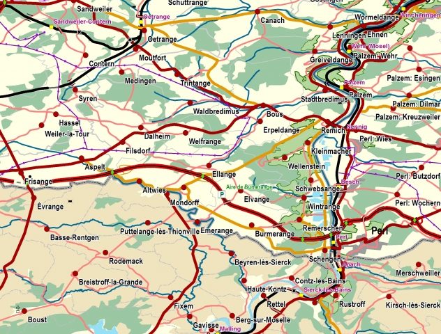
Data from Ukraine is the latest addition to pan-European multi-themed topographic mapping created using harmonised geospatial information from official sources.
As a result, EuroRegionalMap (ERM 2019), produced by EuroGeographics, the membership association for European National Mapping, Cadastral and Land Registration Authorities, now covers 51 European countries and territories (according to ISO country code). The 1:250 000 scale dataset enables cross-border mapping and analysis and detailed pan-European cartographic visualisation.
Angela Baker, Sales, Marketing and Channel Manager, EuroGeographicscommented: “Our unique production process facilitates access to harmonised geospatial data from official national sources, reflecting EuroGeographics’ position as a collaborative network of members in a unique Association. We believe in a society empowered by the use of thistrusted information and,by working together to deliver pan-European data, members aredemonstrating not only what can be achieved through Europe-wide cooperation but also the benefits for the wider public good.”
“Thirty-six members across Europe have worked together to deliver ERM 2019 which includes updated information for boundaries, transport, population and vegetation, and new data from French overseas territories. In addition, the new release contains calculated INSPIRE-ID for countries with no ID and a number of quality improvements.”
“As part of our annual data update, we havealso harmonised and consolidated metadata and lineage information for both ERM 2019 and our official boundary data, EuroBoundaryMap (EBM 2019).”
EBM 2019 is available at 1:100 000 scale and covers 55 European countries and territories (according to ISO country code and Kosovo). It contains geometry, names and codes of administrative and statistical units, and links to the updated statistical LAU- and NUTS-codes for all local administrative units of the EU Member States.
As well as ERM 2019 and EBM 2019, EuroGeographics offers pan-European open data and a digital elevation model. All data is harmonised to standard specificationsso users can be confident that the information provided is consistent, comparable and easily shared.
Germany’s Federal Agency for Cartography and Geodesy (BKG) manages production of EuroBoundaryMap and EuroRegionalMap whilst the National Institute of Geographic and Forest Information (IGN France) supports the production of EuroGlobalMap (EGM 2019) open data.

