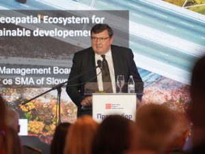
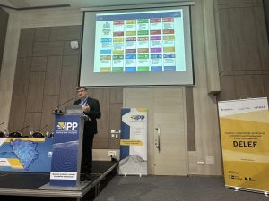
EuroGeographics President, Tomaž Petek has spoken on the challenges of sustainable development facing members of the association, which represents European National Mapping, Cadastral and Land Registration Authorities, at two key conferences in the Balkan Region.
In his presentation, Mr Petek emphasised the significance of connecting different spatially defined information. Tthis allows users to conduct complex searches and analyses, and connect phenomena in space, creating the prerequisites for modern management of space and spatial resources.
More than 500 geodetic experts gathered to discuss digitalisation, sustainable development and integration at the First Assembly of Surveyors of Serbia and Republic of Srpska. Held between 13 to 15 October, the conference was jointly organized by the Republic Geodetic Authority of Serbia and the Administration for Property and Legal Affairs of the Republic of Srpska.
Delegates also focused on cadastre of the 21st century, mass real estate valuation, new technologies in geodesy and heard examples of best practice and innovation from a wide range of speakers. The event culminated in the adoption of a joint declaration and agreement on the necessity of institutional and organizational strengthening of geodetic institutions in order to ensure their efficiency, independence, sustainability and ability to respond to the complex requirements of modern society.
 Mr Petek also spoke to around 100 participants from 58 different institutions, both domestic and international, academic institutions and the private sector at the spatial data infrastructure days in Federation of Bosnia and Hercegovina.
The conference was organised by the Federal Administration for Geodetic and Property Affairs as the coordinating body of the Spatial Data Infrastructure in the Federation of Bosnia and Herzegovina with the support of the Swedish donor project, DELEF. It is a unique opportunity to bring together all entities in the field of spatial data infrastructure in the Federation of BiH, as well as other interested parties, international representatives, the academic sector, and a forum for discussion, exchange of opinions, experiences, examples of good practice as well as an overview of current events in the sector.
Introductory addresses were given by Mr Željko Obradović, Chairman of the Council for Spatial Data Infrastructure and the Director of the Federal Administration for Geodetic and Property and Legal Affairs; Mr Nedim Bukvić, representative of the Swedish Development Agency; and Mr Željko Nedić, Federal Minister of Physical Planning.
