SPATIAL II Project launch
News | 06 Feb 2020
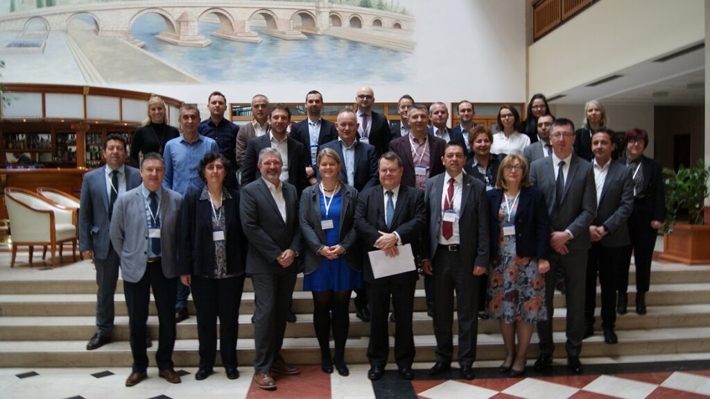
EuroGeographics was delighted to participate in the launch of the SPATIAL II project today in Skopje, Republic of North Macedonia.
SPATIAL II – Strengthened Professional Access To Information About Land II – uses the Integrated Geospatial Information Framework (IGIF) of UNGGIM as guidance for both bilateral and regional support in the Western Balkan region. It is part of the MATRA pre-accession program.
Speaking at the kick-off event, hosted by our members, the Agency for Real Estate Cadastre of the Republic of North Macedonia and The Netherlands’ Cadastre, Land Registry and Mapping Agency, our Secretary General and Executive Director, Mick Cory welcomed the initiative.
He said: “I am pleased, and proud, that each of the state bodies represented here and participating in this workshop on the IGIF are also members of EuroGeographics.”
“You fulfil the essential role of providing official and detailed geospatial, or location, information for important public purposes. This important role is demonstrated in the case studies set out in our EuroGeographics Annual Review. These case studies show how your work helps realise a wide range of social, economic and environmental benefits.
“The UNGGIM / World Bank initiative to develop an integrated geospatial information framework, along with a guide and associated national action plans, provides a clue as to how we might look at the wider potential of authoritative data, beyond your core task.”
“This framework is not just for emerging economies, it also provides a useful way to benchmark what we do against the wider policy objectives within our national governments, and ensures we have a clear picture as to where our task can add value to government priorities. This will help you unlock and sustain national funding and international funding too.”
Call to action
Read our latest news