

- This event has passed.
Joint PCC-EuroGeographics CLRKEN conference

Event Navigation
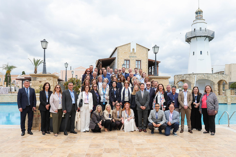
A joint PCC Conference and Plenary Meeting jointly organised with EuroGeographics Cadastre and Land Registry KEN was held in Paphos,
Cyprus from 5 to 7 May 2026 kindly hosted by the Department of Lands and Surveys of Cyprus.
The main theme of the conference was: 'Building a Future Ready Geospatial Information Ecosystem: Resilience, Innovation,
Interoperability and Digital Unity in Cadastre, Land Registry and Land Administration'.
The hosting team together with the CLRKEN Coordinating Committee prepared again an interesting agenda.
The final agenda is available here.
Presentations:
Day 1
| No | Title of the presentation | Presenter |
| 1 | Policy Reflections: Governing Emerging Technologies in Land, Planning, and Public Administration – Cyprus Presidency Priorities | Konstantinos Ioannou (Minister of Interior – Cyprus) |
| 2 | From Documents to Digital Public Infrastructure - Information Model-Based Building Permits and Urban Planning | Christopher-Robin Raitviir (Head of Digital Construction, Tallinn Strategic Management Office) |
| 3 | AI-Enabled National Mapping Needs Structure, Not Just Models | Samantha Arundel (Director, Center of Excellence for Geospatial Information Science, U.S. Geological Survey) |
| 4 | Questionnaire results | Neoclis Neocleus |
| 5 | DLS – An evolving mission via Digital Transformation – Best Practices and Strategic Pillars |
Neoclis Neocleus |
| 6 | Updating Property Valuation in Cyprus – The case of DLS and Mass Property Valuation |
Varnavas Pashoulis |
| 7 | Transforming GIS in DLS – Cadastral Infrastructure, Mapping Activities and Latest Developments |
Klito Demetriou |
Day 2